


Description
Description
GMI 40 Wired Sail Pack - 52mm - GMI 40 Marine Instrument; gWind™ Wired & DST820 Transducers
GMI 40 is the compact, easy-to-use multipurpose marine instrument that provides real-time data from your compatible devices on its high-resolution touchscreen display.
Features:
- High-Resolution 4.3" touchscreen display
- Connects to the gWind sensor and DST820 Smart Transducer
- Displays real-time wind, speed, depth, heading, engine, fuel data, and more from your compatible devices
- Integrates with NMEA 2000® and Garmin Bluenet™ networks
- Software updates via Activecaptain® smartphone app
- Wirelessly shares data to your Garmin marine smartwatch
SLEEK & STREAMLINED
This modern touchscreen display has an intuitive interface and edge-to-edge glass that complements the look of your Garmin chartplotters.
COMPLETELY INTEGRATED
As an NMEA 2000-certified device, your GMI 40 marine instrument integrates smoothly with compatible systems across your boat.
SIMPLE YET CUSTOMIZABLE
Flexible gauge sets and page layouts let you place the data you need exactly where you want it.
A NETWORK YOU CAN TRUST
Garmin BlueNet offers streamlined connectivity with compatible Garmin devices for full-system integration.
SEAMLESS DATA
See the shift before you feel it with easy-to-read real-time wind, speed, depth, and heading insights from your compatible devices.
SIMPLIFIED ENGINE DATA
See engine and fuel data from your compatible devices at a glance to easily monitor levels and optimize performance.
Specifications
Specifications
Identification
| MPN | 010-03411-10 |
|---|
gWind™ Wired Wind Sensor
| Note 1 | Three-bladed propeller for more accurate True Wind Speed (TWS) in lighter air |
|---|---|
| Note 2 | Twin-fin design gives a more stable True Wind Angle (TWA) |
| Note 3 | Optical reading technique for superior performance at low wind speeds with excellent linearity |
| Note 4 | GND™ 10 black box bridges NMEA 2000® data to Nexus Network and enables Garmin-compatible chartplotters to integrate with Nexus sail equipment and vice versa |
| Note 5 | Easy plug-and-play installation between Nexus, Garmin chartplotters, NMEA 2000, and USB |
Physical
| Unit Dimension, WxH | 13.6" x 24" (345 mm x 610 mm) |
|---|---|
| Weight | 260 g |
| Cable Length | 25 m |
| Transducer beamwidth | 10 x 44 degrees |
| Transducer maximum depth | 330 ft |
| Transducer depth/speed/temperature | Depth, Temperature, and Speed |
General
| Waterproof | Yes (IPX6¹) |
|---|---|
| Compass Safe Distance | N/A |
| Transducer number of pins | NMEA 2000 |
| Transducer supported deadrise/transom angles | 0 to 22 degrees |
Performance
| Temp Range | From 5°F to 158°F (-15°C to 70°C) |
|---|---|
| Storage Temperature | From -4°F to 176°F (-20°C to 80°C) |
| Accuracy Angle | Better than ±1.5° |
| Speed | Better than ±3% |
| Wind Speed Range | 0. 8-90 knots (0. 4-50 m/s) |
| Transducer frequency | 235 kHz |
Electrical
| Voltage Range | 9-16V |
|---|---|
| Power Usage | 0.33W |
| Typical Current Draw at 12 VDC | 28 mA |
| Transducer power | 100 W |
Control & Connectivity
| NMEA 2000® Load Equivalency Number (LEN) | N/A |
|---|---|
| Wireless Connectivity | No |
Reviews (0)
Reviews (0)
In The Box
In The Box
In The Box:
Package Dimensions:
Available Shipping Methods:
Support
Support
* ALL WARRANTY IS THROUGH MANUFACTURE *

Garmin
Garmin 6' NMEA 2000 Cable - Right Angle
010-11089-00

Garmin
Garmin BlueNet™ Marine Network Cable - 50'
010-12528-03
Garmin
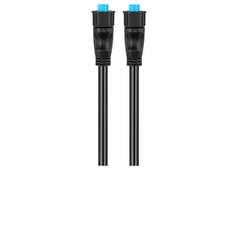
Garmin BlueNet™ Network Cable - 1'
010-12528-11
Garmin
Garmin BlueNet™ Network Cable - 20'
010-12528-31
Garmin
Garmin BlueNet™ Network Cable - 40'
010-12528-02
Garmin
Garmin BlueNet™ Network Cable - 6'
010-12528-30

Garmin
Garmin BlueNet™ Network Cable 50' (Right Angle)
010-12528-10
Garmin
Garmin BlueNet™ Network Cable 8" (Right Angle)
010-12528-13

Garmin
Garmin BlueNet™ Network Cable Coupler
010-12531-00

Garmin
Garmin Field Installable Adapter Kit f/Garmin BlueNet™ Network
010-12528-20

Garmin
Garmin Field Installable Connectors
010-12117-01

Garmin
Garmin GND™ 10 Black Box Bridge
010-01226-00


Garmin
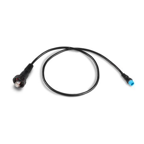
Garmin Marine Network Adapter Cable (Small to Large)
010-12531-01

Garmin
Garmin Mast Bracket f/gWind™/gWind Wireless
010-12117-06


Garmin
Garmin Mast Cable - 40M (131')
010-12117-05

Garmin
Garmin NMEA 2000 Backbone Cable (10M)
010-11076-02

Garmin
Garmin NMEA 2000 Backbone Cable (2M)
010-11076-00

Garmin
Garmin NMEA 2000 Backbone Cable (6M)
010-11076-01
Garmin
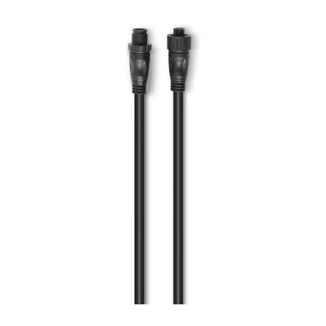
Garmin NMEA 2000 Backbone/Drop Cable (1 Ft.)
010-11076-03

Garmin
Garmin NMEA 2000 Field Installable Connector, Female
010-11095-00
Garmin
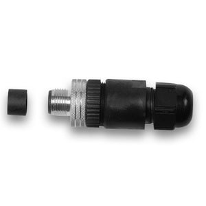
Garmin NMEA 2000 Field Installable Connector, Male
010-11094-00

Garmin
Garmin NMEA 2000 In-Line Terminator
010-11096-00
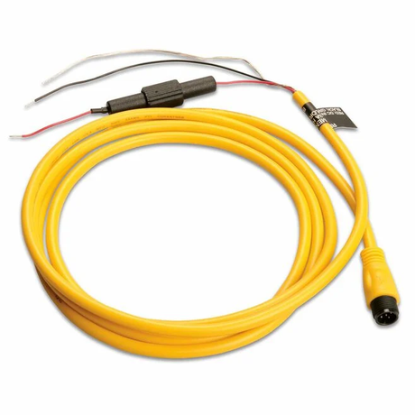
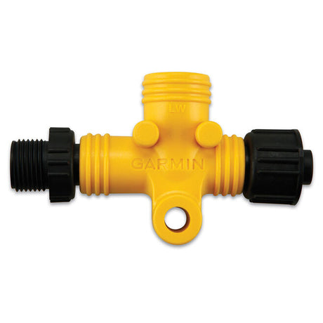
Garmin
Garmin NMEA 2000 Power Isolator
010-11580-00

Garmin
010-11442-00
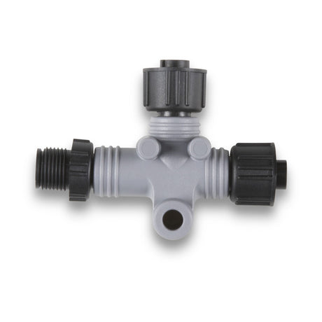
Garmin
010-11078-00

Garmin
Garmin NMEA 2000 Terminator, Female
010-11081-00

Garmin
Garmin NMEA 2000 Terminator, Male
010-11080-00

Garmin
Garmin NMEA 2000® 4-Port Backbone Kit
010-11442-10

Garmin
Garmin NMEA 2000® Backbone/Drop Cable (4M)
010-11076-04
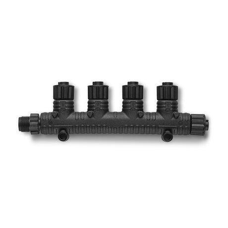
Garmin
Garmin NMEA 2000® Multi-Port T-Connector
010-11078-01

Garmin
Garmin Replacement Propeller f/gWind™ & GND™ 10
010-12117-08

Garmin
010-12117-20
