


GPSMAP® 9010 de Garmin: plotter prémium con mapa base mundial

Descripción
Descripción
GPSMAP® 9010 Chartplotter Premium con mapa base mundial
EL PARAÍSO COMIENZA AQUÍ
Es el plotter de pantalla táctil integrada de alta resolución para capitanes y pescadores que exigen lo mejor. Disfrute de una claridad de borde a borde y lujo en un puesto de mando de cristal con un diseño y materiales de primera calidad.
Características:
- Pantalla táctil IPS premium legible a la luz del sol
- Potencia de procesamiento hasta 7 veces más rápida que en generaciones anteriores
- Obtenga una claridad como nunca antes en una pantalla de alta resolución
- Compatible con cartas Garmin Navionics+™ con tecnología Auto Guidance+™1
- Velocidades Gigabit en la red Garmin Bluenet™
- Conéctese en red con varios plotters, cámaras y más
Plotter Premium
La pantalla táctil HD IPS legible a la luz del sol y el diseño de borde a borde proporcionan un aspecto moderno, lujoso y uniforme.
Más rápido. Mucho más rápido.
La potencia de procesamiento es 7 veces más rápida que en las generaciones anteriores para un rendimiento superior; dibuje cartas rápidamente y calcule rutas Auto Guidance+1 a una velocidad fulgurante con una suscripción opcional a Garmin Navionics+.
Red Garmin Bluenet
Cree redes extensas con múltiples plotters, cámaras, radares y sonares, y disfrute de velocidades gigabit
Opciones de entretenimiento
Disfrute de integraciones de audio y video que le permiten ver y escuchar el mismo contenido en todas las pantallas y altavoces de su red.
Funciones de navegación a vela Garmin Sailassist™ y polares de navegación
Vea líneas de laylines, guía de línea de salida de regatas, rosa de los vientos mejorada, líneas de rumbo y derrota, campos de datos de viento real y control deslizante de marea/corriente/tiempo, y mucho más. Además, la tabla polar muestra datos clave para que sepa si necesita ajustar el trimado de las velas.
Conecte su ecosistema
Tome el control mediante integraciones de sistemas digitales para monitorear, automatizar y controlar su embarcación. El plotter utiliza la red NMEA 2000® para conectarse a sus accesorios compatibles.
Conexión
- Actualizaciones de software: obtenga actualizaciones de software inalámbricas a través de la aplicación ActiveCaptain® con su teléfono inteligente o tableta compatible.
- Aspecto personalizado: los fabricantes pueden personalizar el diseño de la página de inicio y la pantalla de presentación para ofrecer una experiencia adaptada a la marca.
Navegación
- Cartas premium: obtenga compatibilidad con las cartas Garmin Navionics Vision+™ con sombreado de relieve premium e imágenes satelitales.
- Sepa dónde está: obtenga su ubicación precisa con el GPS integrado de doble frecuencia y 10 Hz.
- Piloto automático: controle el piloto automático con cualquier plotter compatible de la red mediante la integración del piloto automático.
Integración
- Conexión de cámaras: obtenga un amplio soporte y control de cámaras para ver las imágenes directamente en el plotter.
- Comandos de voz: utilice comandos hablados para controlar el plotter a través de sus auriculares compatibles o su reloj inteligente quatix®.
- Resistente a la intemperie:
- El plotter GPSMAP 9000 está diseñado para condiciones marinas adversas con una clasificación de resistencia al agua IPX7.
Specifications
Specifications
Identification
| MPN | 010-03175-00 |
|---|---|
| Barcode | 753759343460 |
Dimensions
| Dimension | 10.24" x 7.87" x 3.54" (26 cm x 20 cm x 9.1 cm) |
|---|---|
| Weight | 5.55 lbs (2.52 kg) |
General
| Water Rating | IPX7 |
|---|---|
| Mounting Options | Bail, flat or flush |
Touchscreen
| Display Type | WUXGA, IPS; Edge Lit backlight |
|---|---|
| Display Size | 8.54" x 5.34"; 10.1" diagonal (21.7 cm x 13.6 cm; 25.6 cm diagonal) |
| Display Resolution | 1920 x 1200 pixels |
| Input | Touchscreen |
| Polarized Lens Viewability | Yes |
Maps & Memory
| Accepts Data Cards | 2 microSD™ cards (on rear of product) |
|---|---|
| Waypoints | 5,000 |
| Track Points | 50,000 |
| Tracks | 50 saved tracks |
| Navigation Routes | 100 |
Sensors
| GPS | Yes |
|---|---|
| GLONASS | Yes |
| Galileo | Yes |
| BeiDou | Yes |
| Has Built-in Receiver | Yes |
| Receiver | 10 Hz |
| NMEA 2000 Compatible | Yes |
| NMEA 0183 Compatible | Yes |
| Supports WAAS | Yes |
| Supports Multi-Band, Multi-Constellation GPS | Yes |
Optional Map Support
| BlueChart g3 | Yes |
|---|---|
| BlueChart g3 Vision | Yes |
| LakeVü g3 | Yes |
| LakeVü g3 Ultra | Yes |
| Garmin Navionics+™ | Yes |
| Garmin Navionics Vision+™ | Yes |
| TOPO 100K | Yes |
| Standard Mapping | Yes |
| Garmin Quickdraw Contours | Yes |
| Raster Chart Support | Yes |
Chartplotter Features
| Smart Mode Compatible | Yes |
|---|---|
| AIS | Yes |
| DSC | Yes |
| Supports Fusion-Link™ Compatible Radios | Yes |
| GCV Black Box Sonar Support | Yes |
| ActiveCaptain® Compatible | Yes |
| Supports Voice Commands | Yes |
| GRID (Garmin Remote Input Device) Compatible | Yes |
| GRID 20 Compatible | Yes |
| Wireless Remote Compatible | Yes |
| Sailing Features | Yes |
| Spoken Audio Alerts | Yes |
| OneHelm Support | Yes |
Electrical Features
| Power Input | 10 to 32 Vdc |
|---|---|
| Typical Current Draw at 12 Vdc | 2.43 A |
| Maximum Current Draw at 12 Vdc | 2.8 A |
| Maximum Power Usage at 10 Vdc | 29 W |
Sonar Features
| Displays Sonar | Yes |
|---|---|
| Traditional Sonar (Dual Frequency/Beam) | Yes (with GCV™ black box, sold separately) |
| Supports Built-in xCHIRP | Yes (with compatible black box sonar) |
| Supports Built-in RapidReturn | Yes (with compatible black box sonar) |
| ClearVü | Yes (with compatible black box sonar) |
| SideVü | Yes (with compatible black box sonar) |
| Panoptix™ Sonar | Yes |
| LiveScope | Yes |
Networking & Connections
| NMEA 2000® Ports | 1 |
|---|---|
| NMEA 0183 Input (Rx) Ports | 1 |
| NMEA 0183 Output (Tx) Ports | 1 |
| Video Input Ports | 1 (BNC composite); 1 HDMI (HDCP compliant) |
| Video Output Ports | 1 HDMI |
| J1939 Ports | 1 |
| Garmin BlueNet Network Ports | 2 |
| USB Ports | Yes (1x USB-C) |
| Bluetooth® Pairing | Yes |
| ANT® (Connectivity) | Yes |
| Garmin Wi-Fi Network (Local Connection) | Yes |
| Wi-Fi Frequency Bands | 2.4 GHz & 5 GHz |
| Audio Output | Yes |
Reseñas (0)
Reseñas (0)
In The Box
In The Box
In The Box:
Package Dimensions:
Available Shipping Methods:
Support
Support
* ALL WARRANTY IS THROUGH MANUFACTURE *
 WARNING: This product can expose you to chemicals including NICKEL (METALLIC) which is known to the State of California to cause cancer. For more information go to
Garmin
Acoplador de cable de red Garmin BlueNet™
010-12531-00

Garmin
Adaptador analógico NMEA 2000 Garmin GFL 10 para nivel de fluido
010-11326-00

Garmin
Adaptador analógico a NMEA 2000 para inclinación de motor Garmin GET 10
010-11325-00

Garmin
Adaptador analógico a NMEA 2000 para ángulo de timón Garmin GRA 10
010-11324-00

Garmin
Adaptador analógico de velocidad y temperatura del agua NMEA 2000 Garmin GST 10
010-11328-00
Garmin
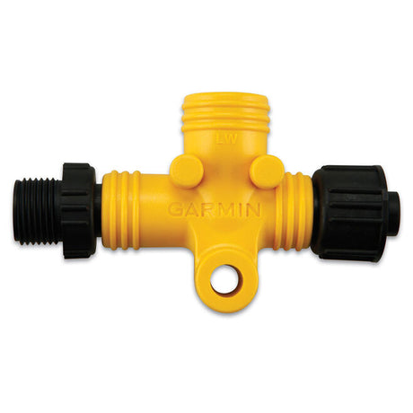
Aislador de alimentación Garmin NMEA 2000
010-11580-00

Garmin
Antena GPS Garmin GPS 24xd con sensor de rumbo - NMEA 2000
010-02316-10


Garmin
Antena de radio/meteorología por satélite Garmin GXM™ 54 - Blanco
010-02277-00

Garmin
Cable NMEA 2000 Garmin de 6 pies - Ángulo recto
010-11089-00
Garmin
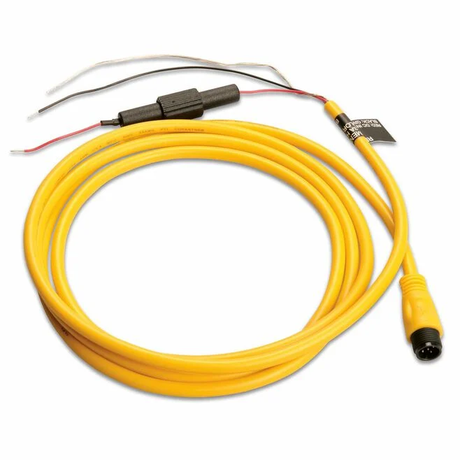
Cable de alimentación Garmin NMEA 2000
010-11079-00
Garmin
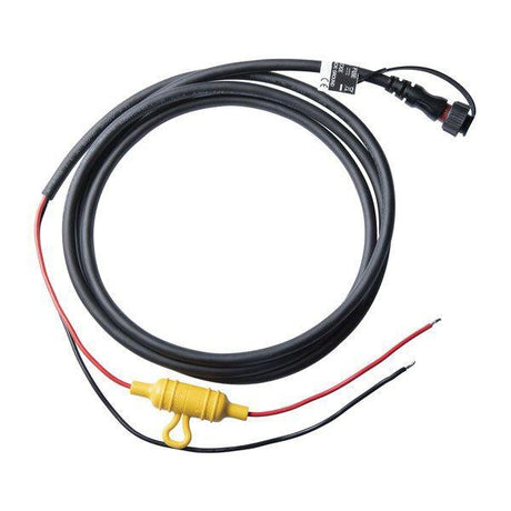
Cable de alimentación/datos de 2 pines para Garmin GPSMAP® - 6'
010-12797-00

Garmin
Cable de red Garmin BlueNet™ - 40' (12 m)
010-12528-02

Garmin
Cable de red Garmin BlueNet™ de 50 pies (ángulo recto)
010-12528-10

Garmin
Cable troncal Garmin NMEA 2000 (10 m)
010-11076-02

Garmin
Cable troncal NMEA 2000 Garmin (2 m)
010-11076-00

Garmin
Cable troncal NMEA 2000 de Garmin (6m)
010-11076-01
Garmin
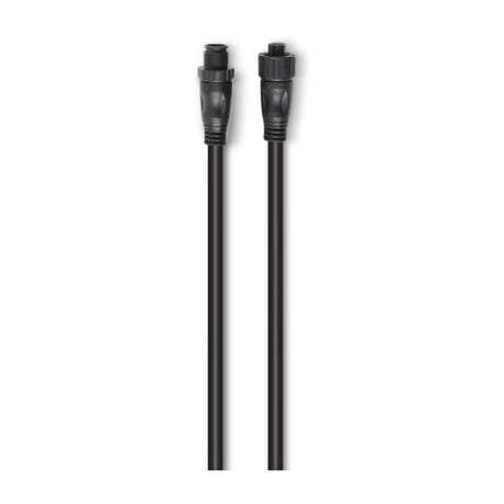
Cable troncal/derivación Garmin NMEA 2000 (0,3 m)
010-11076-03

Garmin
Cable troncal/derivación Garmin NMEA 2000® (4 m)
010-11076-04

Garmin
Caja negra de sonda de escaneo Ultra HD Garmin GCV™ 20
010-02055-10

Garmin
Conector Garmin de collar dividido de 11 mm
010-11170-01
Garmin
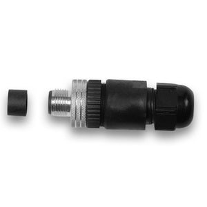
Conector NMEA 2000 Garmin instalable en campo, macho
010-11094-00
Garmin
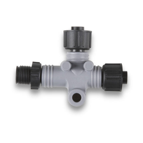
Conector en T NMEA 2000 de Garmin
010-11078-00
Garmin
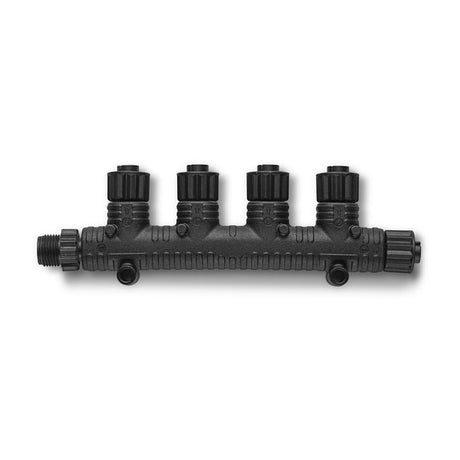
Conector en T multipuerto Garmin NMEA 2000®
010-11078-01

Garmin
Conector instalable en campo Garmin NMEA 2000, hembra
010-11095-00


Garmin
Control remoto del piloto automático Garmin Reactor™
010-12833-10


Garmin
Cámara inalámbrica Garmin GC™ 100
010-01865-30


Garmin
010-02667-00


Garmin
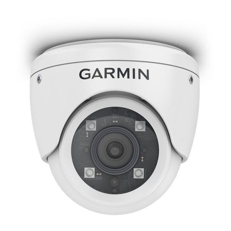
Cámara marina IP Garmin GC™ 200
010-02164-00


Garmin
Garmin GMR Fantom™ 126 - Radar de antena abierta de 6'
K10-00012-20

Garmin
010-02011-01

Garmin
010-02011-00
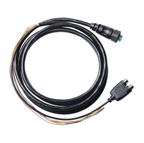
Garmin
Garmin NMEA 0183 con cable de audio
010-12852-00

Garmin
Kit de inicio NMEA 2000 de Garmin
010-11442-00

Garmin
Módulo de sonda premium Garmin GSD™ 25
010-01159-00


Garmin
Radar Garmin GMR Fantom™ 254 con antena de matriz abierta de 4'
K10-00012-21


Garmin
Radar Garmin GMR Fantom™ 256 con antena de arreglo abierto de 6'
K10-00012-22


Garmin
Radar de antena abierta Garmin GMR Fantom™ 124 de 4 pies
K10-00012-19


Garmin
Radar de antena abierta Garmin GMR Fantom™ 54 de 4'
K10-00012-17


Garmin
Radar de antena abierta de 6' Garmin GMR Fantom™ 56
K10-00012-18

Garmin
Sensor de combustible Garmin GFS™ 10 solo para motores de gasolina
010-00671-00

Garmin
Sensor de rumbo Garmin SteadyCast™
010-11417-10

Garmin
Sensor de temperatura pasacascos Garmin GTEMP10-TH
010-11413-10

Garmin
Sonda de red de caja negra digital Garmin GSD™ 24
010-00957-00

Garmin
Soporte de montaje con perillas para Garmin 8x10-9x10
010-12798-00

Garmin
Terminador NMEA 2000 Garmin, Hembra
010-11081-00

Garmin
Terminador NMEA 2000 Garmin, Macho
010-11080-00

Garmin
Terminador en línea NMEA 2000 de Garmin
010-11096-00

Garmin
Transceptor Blackbox AIS™ 800 de Garmin
010-02087-00

Garmin
Transductor de velocidad/temperatura pasacascos Garmin GST™ 43
010-04283-00

Garmin
Transductor de velocidad/temperatura pasacascos Garmin GST™ 43 con kit GST™ 10
010-04284-00
Garmin
Caja negra de sonda de escaneo Ultra HD Garmin GCV™ 20
010-02055-10

Garmin
010-02055-00


Garmin
Módulo de sonda avanzado Garmin GSD™ 28
010-02797-00
Garmin
Módulo de sonda premium Garmin GSD™ 25
010-01159-00
Garmin
Sonda de red de caja negra digital Garmin GSD™ 24
010-00957-00


Garmin
Sonda de red de caja negra digital Garmin GSD™ 26 con tecnología de sonar de espectro ensanchado
010-00958-00

Garmin
Cubierta a presión de la pieza de adorno Garmin para trazadores de mapas GPSMAP® 9x10
010-13902-00

Garmin
Cubierta protectora Garmin para trazadores de mapas GPSMAP® 9x10
010-13901-00

Garmin
Kit de montaje empotrado Garmin para GPSMAP 9x10
010-13903-00
Garmin
Acoplador de cable de red Garmin BlueNet™
010-12531-00
Garmin
Aislador de alimentación Garmin NMEA 2000
010-11580-00
Garmin
Cable NMEA 2000 Garmin de 6 pies - Ángulo recto
010-11089-00

Garmin
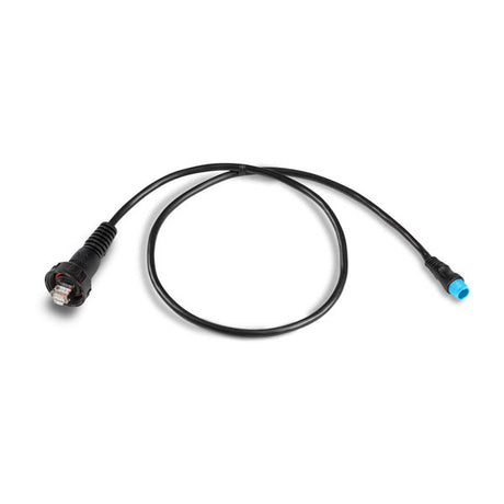
Cable adaptador de red Garmin BlueNet™ a RJ45
010-12531-02
Garmin
Cable adaptador de red marina Garmin (pequeño a grande)
010-12531-01

Garmin
Cable adaptador de red marina Garmin - pequeño (hembra) a grande
010-12531-10

Garmin
Cable adaptador de red marina Garmin: RJ45 (hembra) a BlueNet (hembra)
010-12531-11
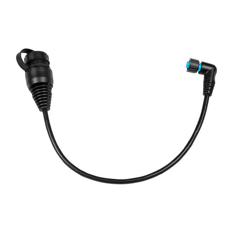
Garmin
Cable adaptador para red náutica Garmin: hembra pequeña (ángulo recto) a hembra grande
010-13094-00
Garmin
Cable de alimentación Garmin NMEA 2000
010-11079-00
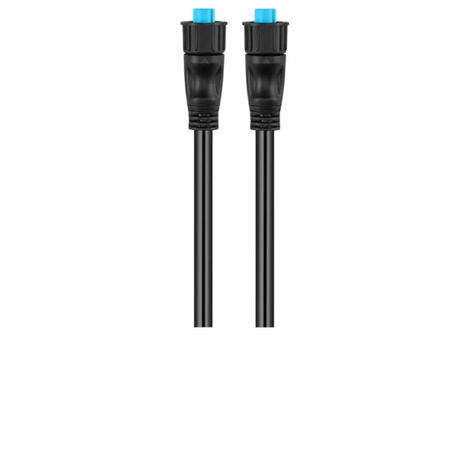
Garmin
Cable de red Garmin BlueNet™ - 1 pie
010-12528-11
Garmin
Cable de red Garmin BlueNet™ - 20'
010-12528-31
Garmin
Cable de red Garmin BlueNet™ - 40' (12 m)
010-12528-02

Garmin
Cable de red Garmin BlueNet™ - 500'
010-12528-12
Garmin
Cable de red Garmin BlueNet™ - 6' (1,8 m)
010-12528-30
Garmin
Cable de red Garmin BlueNet™ de 50 pies (ángulo recto)
010-12528-10
Garmin
Cable de red Garmin BlueNet™ de 8" (ángulo recto)
010-12528-13
Garmin
Cable de red marina Garmin BlueNet™ - 50'
010-12528-03
Garmin
Cable troncal Garmin NMEA 2000 (10 m)
010-11076-02
Garmin
Cable troncal NMEA 2000 Garmin (2 m)
010-11076-00
Garmin
Cable troncal NMEA 2000 de Garmin (6m)
010-11076-01
Garmin
Cable troncal/derivación Garmin NMEA 2000 (0,3 m)
010-11076-03
Garmin
Cable troncal/derivación Garmin NMEA 2000® (4 m)
010-11076-04

Garmin
Cables troncales/derivados Garmin NMEA 2000® (ángulo recto) - 1'
010-11089-01
Garmin
Conector NMEA 2000 Garmin instalable en campo, macho
010-11094-00
Garmin
Conector en T NMEA 2000 de Garmin
010-11078-00
Garmin
Conector en T multipuerto Garmin NMEA 2000®
010-11078-01
Garmin
Conector instalable en campo Garmin NMEA 2000, hembra
010-11095-00
Garmin
Kit adaptador de instalación en campo Garmin para red Garmin BlueNet™
010-12528-20
Garmin
Kit de inicio NMEA 2000 de Garmin
010-11442-00


Garmin
010-02613-00


Garmin
010-02612-00
Garmin
Terminador NMEA 2000 Garmin, Hembra
010-11081-00
Garmin
Terminador NMEA 2000 Garmin, Macho
010-11080-00
Garmin
Terminador en línea NMEA 2000 de Garmin
010-11096-00
