


Garmin GPSMAP® 1243 Chartplotter GN+

Descripción
Descripción
GPSMAP® 1243 Chartplotter GN+
You’re a boater who wants premium features, maps, and charts for your connected helm. This crisp 12" high-resolution chartplotter makes that wish come true.
Get a sharper view from your connected helm with the GPSMAP® 1243 chartplotter. It's high-resolution 12” in-plane switching touchscreen and ultra-sleek design seamlessly integrate into your Garmin marine system, putting full control at your fingertips. Preloaded Garmin Navionics+™ coastal charts and inland mapping feature Auto Guidance+™ technology (Auto Guidance+ is for planning purposes only and does not replace safe navigation operations) for helping you get where you need to go. Plus, there’s support for optional Garmin Navionics Vision+™ premium map content. Easily build your marine system — from compatible sonar and autopilots to compatible radar, cameras and multimedia — by using HTML 5.0, NMEA 2000® and NMEA 0183 networking, J1939 for engines, and the Garmin Marine Network. Add FrontVü™ forward-looking sonar (sold separately). (The ability to effectively avoid forward collisions with FrontVü sonar decreases as speed rises above 8 knots[HT1] ) which can help in avoiding underwater obstructions ahead. Or pair your plotter with your other compatible Garmin devices, such as quatix® smartwatches, wind transducers, wireless remote controls, and more.
Features:
High-resolution in-plane switching touchscreen display offers improved sunlight readability and wide-angle visibility over previous-generation 12” units
Fast and responsive, this robust GPSMAP® system references 10 Hz GNSS (GPS, GLONASS, and Galileo) for accurate positioning and smooth speed as well as COG data
Slimline display borders, edge-to-edge glass, and reduced unit footprint make for easy retrofit in a wider range of dash configurations
Preloaded Garmin Navionics+™ coastal charts and inland mapping feature Auto Guidance+™ technology (Auto Guidance+ is for planning purposes only and does not replace safe navigation operations) ; plus, there’s support for optional Garmin Navionics Vision+™ premium map content.
Built-in Garmin SailAssist™ features, including laylines, race features, set and drift, wind data, and more. Requires compatible wind transducer (sold separately)
J1939 engine connectivity for easy integration with engines and our exclusive OneHelm™ feature for connecting to your compatible third-party devices, such as EmpirBus™ digital switching
Easily build your marine system — from compatible sonar and autopilots to compatible radar, cameras and multimedia — by using NMEA 2000® and NMEA 0183 networking and the Garmin Marine Network
Use built-in Wi-Fi® networking to pair with the free ActiveCaptain® smartphone app for access to the OneChart™ feature, smart notifications, software updates, and more.
Integrated ANT® connectivity support for use with compatible quatix® smartwatches, the gWind™ Wireless 2 transducer, GNX™ Wind marine instrument, and wireless remote controls (sold separately)
Specifications
Specifications
Identification
| MPN | 010-02367-60 |
|---|---|
| Barcode | 753759285241 |
Dimensions
| Dimension | 12.1” x 8.9” x 3.2” (30.8 x 22.8 x 8.2 cm) |
|---|---|
| Weight | 6.6 lbs (3.0 kg) |
General
| Water Rating | IPX7 |
|---|---|
| Mounting Options | Bail, flush or flat (Garmin does not offer any hardware or accessories for a flat-mount installation. Professional tools and knowledge is required.) |
Touchscreen
| Display Type | WXGA |
|---|---|
| Display Size | 10.3" x 6.4"; 12.1" diagonal (26.2 x 16.3 cm; 30.7 cm diagonal) |
| Display Resolution | 1280 x 800 pixels |
| Input | Touchscreen |
Maps & Memory
| Accepts Data Cards | 2 microSD cards (back of unit) |
|---|---|
| Waypoints | 5000 |
| Track Points | 50,000 |
| Tracks | 50 saved tracks |
| Navigation Routes | 100 |
Sensors
| GPS | Yes |
|---|---|
| GLONASS | Yes |
| Galileo | Yes |
| Has Built-in Receiver | Yes |
| Receiver | 10 Hz |
| NMEA 2000 Compatible | Yes |
| NMEA 0183 Compatible | Yes |
| Supports WAAS | Yes |
Built-in Maps
| Built-in Auto Guidance+ | Yes |
|---|---|
| Garmin Navionics+ (Inland and Coastal) | Yes |
| Tide Tables | Yes |
Optional Map Support
| Garmin Navionics+™ | Yes |
|---|---|
| Garmin Navionics Vision+™ | Yes |
| TOPO 100K | Yes |
| Standard Mapping | Yes |
| Garmin Quickdraw Contours | Yes |
| Raster Chart Support | Yes |
Chartplotter Features
| Smart Mode Compatible | Yes |
|---|---|
| AIS | Yes |
| DSC | Yes |
| Supports Fusion-Link™ Compatible Radios | Yes |
| GSD Black Box Sonar Support | Yes |
| GCV Black Box Sonar Support | Yes |
| ActiveCaptain® Compatible | Yes |
| GRID (Garmin Remote Input Device) Compatible | Yes |
| Wireless Remote Compatible | Yes |
| Sailing Features | Yes |
| Spoken Audio Alerts | Yes |
| OneHelm Support | Yes |
Electrical Features
| Power Input | 10 to 32 Vdc |
|---|---|
| Typical Current Draw at 12 Vdc | 1.67 A |
| Maximum Current Draw at 12 Vdc | 2.15 A |
| Maximum Power Usage at 10 Vdc | 26.5 W |
Sonar Features
| Displays Sonar | Yes |
|---|---|
| Traditional Sonar (Dual Frequency/Beam) | Yes (with GCV™ black box, sold separately) |
| ClearVü | Yes (with GCV™ black box, sold separately) |
| SideVü | Yes (with GCV™ black box, sold separately) |
| Panoptix™ Sonar | Yes |
| LiveScope | Yes |
Networking & Connections
| NMEA 2000® Ports | 1 |
|---|---|
| NMEA 0183 Input (Rx) Ports | 1 |
| NMEA 0183 Output (Tx) Ports | 1 |
| Video Input Ports | 1 (BNC composite) |
| Video Output Ports | 1 HDMI |
| J1939 Ports | 1 |
| Garmin Marine Network Ports | 2 |
| USB Ports | Yes |
| Bluetooth® Pairing | Yes |
| ANT® (Connectivity) | Yes |
| Garmin Wi-Fi Network (Local Connection) | Yes |
Reseñas (0)
Reseñas (0)
In The Box
In The Box
In The Box:
Package Dimensions:
Available Shipping Methods:
Support
Support
* ALL WARRANTY IS THROUGH MANUFACTURE *
 WARNING: This product can expose you to chemicals including NICKEL (METALLIC) which is known to the State of California to cause cancer. For more information go to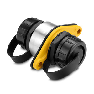
Garmin
010-10580-10
Garmin
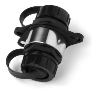
010-10580-00
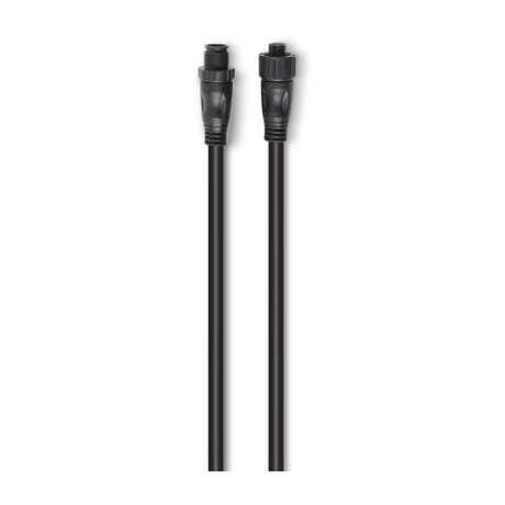

Garmin
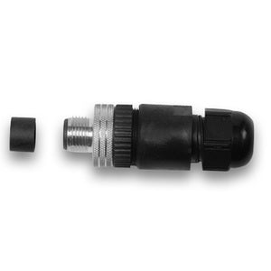
Conector de instalación en campo NMEA 2000
010-11094-00
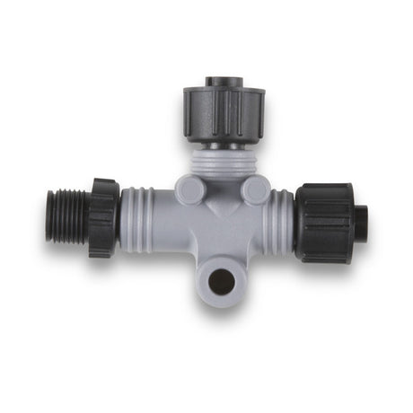
Garmin
010-11078-00
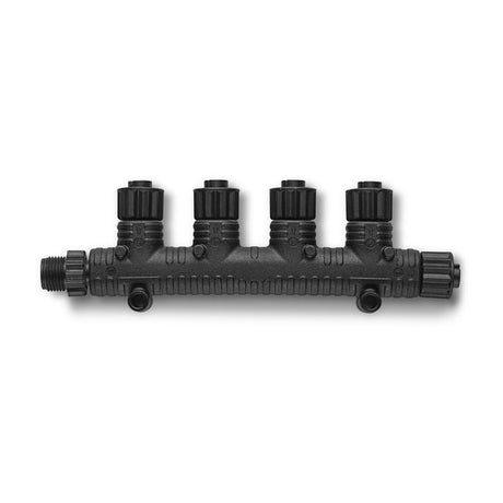
Garmin
Conector en T de 4 puertos NMEA 2000
010-11078-01
Garmin
Expansor de puerto de red GMS 10
010-00351-00

Garmin
Garmin 20' Marine Network Cable - RJ45
010-10551-00

Garmin
Garmin 40' Marine Network Cable - RJ45
010-10552-00

Garmin
Garmin 6' NMEA 2000 Cable - Right Angle
010-11089-00

Garmin
Garmin Cable Grommet f/Network Cables
010-10562-00

Garmin
Garmin GDT™ 43 Depth & Temperature Transducer
010-01749-00

Garmin
Garmin GDT™ 43 NMEA 2000® Depth & Temperature Transducer
010-01749-10

Garmin
Garmin GET 10 Engine Tilt NMEA 2000 Analog Adapter
010-11325-00

Garmin
Garmin GFS™ 10 Fuel Sensor for Gas Engines Only
010-00671-00

Garmin
Garmin GMI™ 20 Marine Instrument Display
010-01140-00

Garmin
Garmin GND™ 10 Black Box Bridge
010-01226-00


Garmin
Garmin GNX™ 20 Marine Instrument w/Standard Display - 4"
010-01142-00

Garmin
Garmin GNX™ 21 Marine Instrument w/Inverted Display - 4"
010-01142-10

Garmin
Garmin GNX™ Wireless Sail Pack 43
010-01616-30

Garmin
Garmin GRA 10 Rudder Angle NMEA 2000 Analog Adapter
010-11324-00

Garmin
Garmin GST 10 Water Speed Temp NMEA 2000 Analog Adapter
010-11328-00

Garmin
Garmin GST™ 43 Thru-Hull Speed/Temperature Transducer
010-04283-00

Garmin
Garmin GST™ 43 Thru-Hull Speed/Temperature Transducer w/GST™ 10 Bundle
010-04284-00

Garmin
Garmin GTEMP10-TH Thru-Hull Temp Sensor
010-11413-10

Garmin
Garmin Marine Network Cable - 500'
010-10647-01

Garmin
Garmin Marine Network Cable Connector RJ45 - 2-Pack
010-10603-00

Garmin
Garmin NMEA 2000 Backbone Cable (10M)
010-11076-02

Garmin
Garmin NMEA 2000 Backbone Cable (2M)
010-11076-00

Garmin
Garmin NMEA 2000 Backbone Cable (6M)
010-11076-01

Garmin
Garmin NMEA 2000 Field Installable Connector, Female
010-11095-00

Garmin
Garmin NMEA 2000 In-Line Terminator
010-11096-00
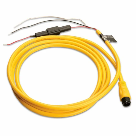
Garmin
010-11079-00
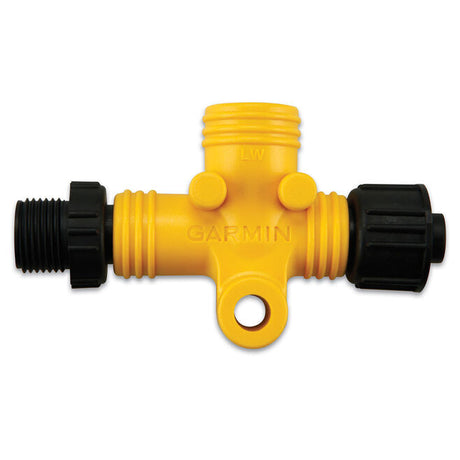
Garmin
Garmin NMEA 2000 Power Isolator
010-11580-00

Garmin
010-11442-00

Garmin
Garmin NMEA 2000 Terminator, Female
010-11081-00

Garmin
Garmin NMEA 2000 Terminator, Male
010-11080-00

Garmin
Garmin NMEA 2000® Backbone/Drop Cable (4M)
010-11076-04

Garmin
Garmin Panoptix™ PS30 Down Transducer
010-01284-00


Garmin
Garmin Panoptix™ PS51-TH LiveVü Forward Transducer
010-01753-00

Garmin
Garmin Split Connector Threaded f/RJ45 Network Cables - 18mm
010-11170-00

Garmin
010-01228-00

Garmin
Garmin gWind™ Transducer w/GND™ 10 Black Box Bridge
010-01227-00

Garmin
Garmin gWind™ Wireless 2 Transducer
010-01616-00

Garmin
010-00957-00

Garmin
010-01159-00

Garmin
Piloto automático Compact Reactor 40
010-00705-06

Garmin
Sensor de nivel de combustible GFL10
010-11326-00

Garmin
010-11417-10


Garmin
010-00958-00
Garmin
010-00957-00
Garmin
010-01159-00


Garmin
010-02797-00

Garmin
Cable adaptador de transductor de 8 pines a sonda de 12 pines
010-12122-10
Garmin
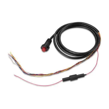
Cable de alimentación de 8 pines
010-12550-00
Garmin
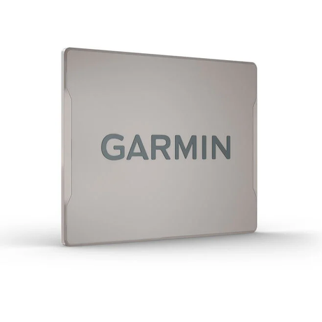
Cubierta de pantalla del GPSmap 1243 (1223)
010-12989-02

Garmin
Garmin Bail Mount with Knobs f/GPSMAP® 12x3 Series
010-12992-02

Garmin
Garmin Flush Mount Kit f/ GPSMAP 12x3 Series
010-12991-02
Garmin
Piezas de repuesto para GPSmap 1243 (1223)
010-12990-02
Garmin
010-10580-10
Garmin
010-10580-00
Garmin
Conector de instalación en campo NMEA 2000
010-11094-00
Garmin
010-11078-00
Garmin
Conector en T de 4 puertos NMEA 2000
010-11078-01
Garmin
Garmin 20' Marine Network Cable - RJ45
010-10551-00
Garmin
Garmin 40' Marine Network Cable - RJ45
010-10552-00
Garmin
Garmin 6' NMEA 2000 Cable - Right Angle
010-11089-00
Garmin
Garmin Marine Network Cable Connector RJ45 - 2-Pack
010-10603-00
Garmin
Garmin NMEA 2000 Backbone Cable (10M)
010-11076-02
Garmin
Garmin NMEA 2000 Backbone Cable (2M)
010-11076-00
Garmin
Garmin NMEA 2000 Backbone Cable (6M)
010-11076-01
Garmin
Garmin NMEA 2000 Field Installable Connector, Female
010-11095-00
Garmin
Garmin NMEA 2000 In-Line Terminator
010-11096-00
Garmin
010-11079-00
Garmin
Garmin NMEA 2000 Power Isolator
010-11580-00
Garmin
010-11442-00
Garmin
Garmin NMEA 2000 Terminator, Female
010-11081-00
Garmin
Garmin NMEA 2000 Terminator, Male
010-11080-00
Garmin
Garmin NMEA 2000® Backbone/Drop Cable (4M)
010-11076-04

Garmin
Garmin NMEA 2000® Backbone/Drop Cables (Right Angle) - 1'
010-11089-01
